Win a Downtown Asheville Stay + VIP Event Tickets
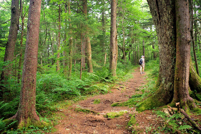
Doesn't hiking the Big Butt Trail to Point Misery sound delightful? Well, it is! This high elevation (5,000+ feet), roller coaster hike along the mountain ridges is perfect on a hot summer's day since temperatures run 10-20 degrees cooler than in the city of Asheville, just 20 miles away. Journey 2.25 miles under a dense tree canopy, ending your trek atop Little Butt Mountain with a rock outcropping perfect for a picnic with a view of Mt. Mitchell. The 4.5-mile roundtrip hike is strenuous since you are usually going up or down a hill, including some steep sections.
This trail begins at the Walker Knob Overlook at Milepost 358.9 on the Blue Ridge Parkway (4.4 miles north of Craggy Gardens and 4 miles south of Mt Mitchell). Park and look for the "Big Butt Trail" post to your left. The Mountains-to-Sea Trail also crosses the Parkway here, and you'll see it toward the middle of the overlook parking. Thanks to the hard working North Carolina High Peaks Trail Association, the trail is very well marked and maintained. You'll climb many wooden steps carefully carved in the steep ridges. It's located in Pisgah National Forest (TR 161), so you won't see signs of civilation - except for the "posted" signs on the neighboring private land.

The trek is a delight for the senses, traveling through a diverse forest with plenty of evergreens and towering birch trees above and lush ground cover, mushrooms and wildflowers below. Since this section of the Parkway is closed much of the winter, plan your hike for April-November. The trail is very easy to follow and it's blazed with white markers.
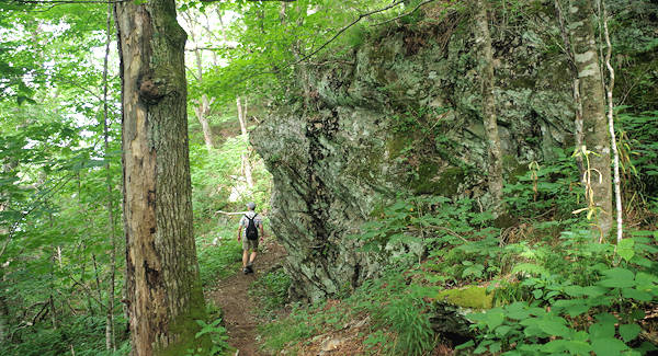
From the parking area (elevation 5,317 feet), you will quickly descend into the forest and climb a ridge, followed by another brief descent and ascent. In 1.5 miles, you'll arrive at the summit of Point Misery (elevation 5,715 feet) with little fanfare. There are no views here - just a campsite. You'll know you have reached the top since you will descend many stairs after the summit. You will agree with its name as you climb this section on your way back! By the way, the trail is named for the butts (large rock outcroppings) that you'll pass.
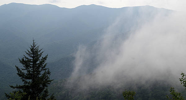
In less than a mile, you'll arrive at Little Butt (elevation 5,620 feet). To the right are two obvious side trails to a rock outcropping with the view northeast to Mount Mitchell. This is the spot for a picnic. Return the same way.
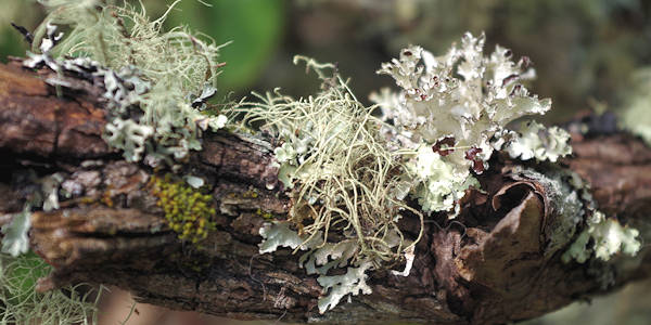
This area gets a lot of rain and snow and often covered in clouds. So you'll find some amazing creations along the way! If you want a longer hike, Big Butt Trail continues about 3.8 miles for a challenging 12-mile roundtrip (ending at NC 197).
Driving Directions
Simply get on the Blue Ridge Parkway and travel north from Asheville. Look for the overlook on your left at Milepost 358.9 (about 4.4 miles past Craggy Gardens). This section of the Parkway is usually closed much of the winter due to ice and snow on the road.
