Win a Downtown Asheville Stay + VIP Event Tickets
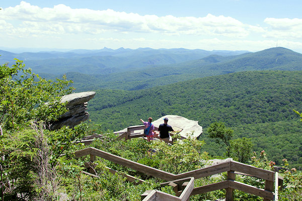
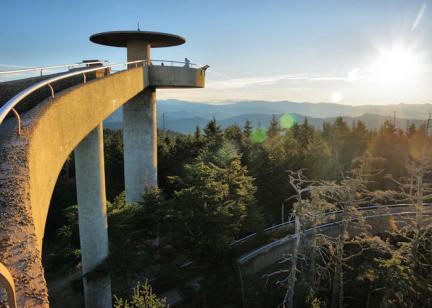
The Mountains-to-Sea Trail (MST) of North Carolina is a 935-mile trail consisting of footpaths, roads and state bike routes across the state. While the trail is far from complete, there are about 190 miles in the mountains for you to hike. In the Asheville area, this backcountry hiking trail (white blaze) roughly follows with Blue Ridge Parkway. This section of the MST has been designated a National Recreation Trail, crossing expansive forests, wildflower gardens, major rivers and historic sites. The entire trail stretches from Clingman's Dome in Great Smoky Mountains National Park to Jockey's Ridge State Park on the Outer Banks. When completed, this trail will connect 37 counties, including numerous cities, state parks, and U.S. Forest Service lands.
Closest to Asheville, you can access the Mountains to Sea Trail at the Folk Art Center and local's favorite Rattlesnake Lodge Trail (where it crossed Ox Creek Road near the Parkway). Within a short drive of Asheville, you can reach several excellent parts of the Mountains to Sea Trail as it follows the Blue Ridge Parkway, including a 60-mile section from Mount Pisgah in the south to Craggy Gardens in the north.
You can take a leisurely, short stroll or an extended strenuous hike. No camping is allowed along trail in the sections near the Blue Ridge Parkway. Camping is available in the Pisgah National Forest off trail and in campgrounds, including Mt. Pisgah and Black Mountain Campground.
The trail is unofficially divided into sections to better tackle it. Here are the sections near Asheville:
Section 6: Beech Gap to the Pisgah Inn on the Blue Ridge Parkway (21 miles)
This section includes Devil’s Courthouse, Graveyard Fields, and “Skinny Dip Falls” along the Parkway, so you catch the trail at these popular spots.
Section 7: Pisgah Inn to Folk Art Center on the Blue Ridge Parkway (31 miles)
Starting at the parking area for Mt. Pisgah hike, the MST follows about 16 miles follow the Shut-In Trail, which was originally built by George Vanderbilt to connect his Biltmore Estate to his Buck Spring Lodge. The MST leaves the Shut-In Trail at the NC Arboretum, crosses the French Broad River and continues along the Parkway to the Folk Art Center.
Section 8: Folk Art Center to Balsam Gap North on the Blue Ridge Parkway (22 miles)
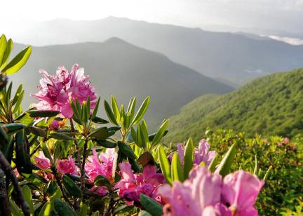
The trail in this “roller coaster” section takes you past wildflower gardens, abundant wildlife and features such as Rattlesnake Lodge, Craggy Gardens, and Glassmine Falls.
Section 9: Mount Mitchell and the Black Mountains (23 miles)
This section includes Mount Mitchell. The trail runs from Balsam Gap North at milepost 360 to Buck Creek Gap (NC-80) at milepost 344 on the Blue Ridge Parkway.
Section 10: Woods Mountain Trail (13 miles)
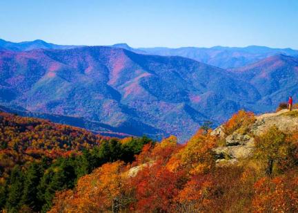
This section stretches from Buck Creek Gap at milepost 344 on the Blue Ridge Parkway to Woodlawn Park on US-221. The trail takes you into the Pisgah National Forest and offers outstanding views of Grandfather Mountain and other peaks an abundant wildlife and native plants.
Section 11: Linville Mountains and Gorge (35 miles)
This section which runs from Woodlawn Park on US-221 north of Marion to Ripshin Ridge on NC-181 is one of the most beautiful sections of the MST but also the most challenging. The hike through Linville Gorge and views from Shortoff Mountain and Table Rock are nice rewards.
Section 12: Waterfall Backpack through the Pisgah National Forest (24 miles)
The MST passes many waterfalls and pools in this beautiful section through the Pisgah National Forest between NC 181 and Beacon Heights on the Blue Ridge Parkway. No trace camping is available throughout the forest, but not allowed when you reach the Blue Ridge Parkway. The east trailhead is near the entrance to Grandfather Mountain
Section 13: Beacon Heights to Boone Fork Parking Area (8 miles)
From Beacon Heights to Price Park, the MST piggybacks the Tanawha Trail under Linn Cove Viaduct and along the boardwalks on Rough Ridge with stunning views.
