Win a Downtown Asheville Stay + VIP Event Tickets
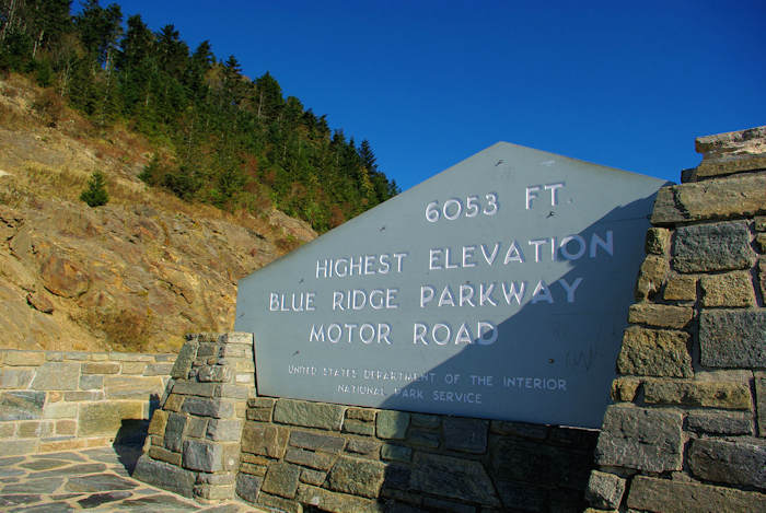
Be sure to stop at the highest point on the Blue Ridge Parkway! And there's a great highland hike that offers a cool hiking option on hot summer days. There are two overlooks for Richland Balsam, near Milepost 431 (about 45 miles from downtown Asheville). Driving south on the Blue Ridge Parkway, you will reach the parking area on the right first, signed "Haywood-Jackson Overlook." This is where you park for the 1.5-mile loop hike to the top of Richland Balsam (read more below). Continue south on the Parkway about 1/3 mile to the overlook on the left with the large sign proclaiming "Highest Elevation" on the Parkway (6,053 feet). Enjoy the views from the parking area and snap a photo of you with the sign.
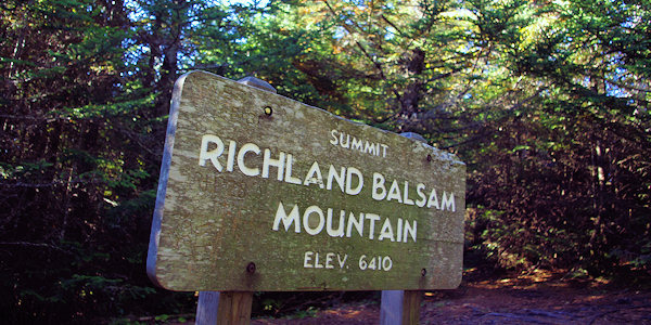
Richland Balsam Hike
Richland Balsam mountain rises to 6,410 feet and is the highest peak on the Blue Ridge Parkway. The 1.5-mile self-guided loop trail passes through a spruce-fir forest (best smelling trail on the Parkway) and passes over the summit of the 10th highest in the eastern United States. You climb about 700 vertical feet, but it's not overly strenuous. Since this is one of the highest elevation hikes in the East, it's a great spot for a refreshing hike on the hot summer day in the lower elevations. However, the winter here is brutal, so the Parkway is closed in the area for the winter - and sometimes late fall and early Spring. Richland Balsam is currently the scene of a struggle between the Fraser Fir and the balsam woolly adelgids. Accidentally introduced into the U. S. around 1900, the adelgid first appeared at this site in the late 1970's. Once infested, most firs die, leaving the gray "snags" as mute testimony. The elevation at the start of the trail is 6020'.
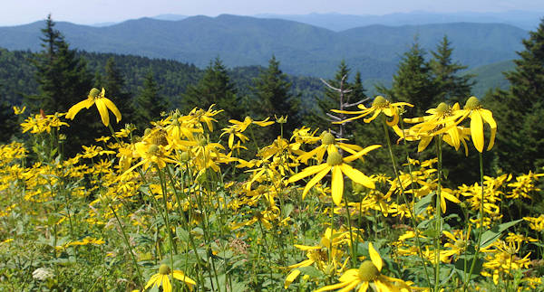
Summer wildflowers abound at the Richland Balsam overlook.
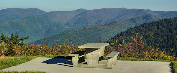
This great picnic spot is at the Haywood Jackson Overlook, Milepost 431 and elevation 6,020 feet.
Directions: Located at Milepost 431 on the Blue Ridge Parkway, the Richland Balsam area is about 36 miles from Asheville’s exit on the Parkway at NC Highway 191. While the drive on the Parkway is one of the most scenic in the country, expect slower traffic and plenty of curves. Allow 1.5 hours to drive. This section of the Parkway closes frequently during the winter for snow and ice. Read more about current Parkway closures. There is no street address for GPS.
