Win a Downtown Asheville Stay + VIP Event Tickets
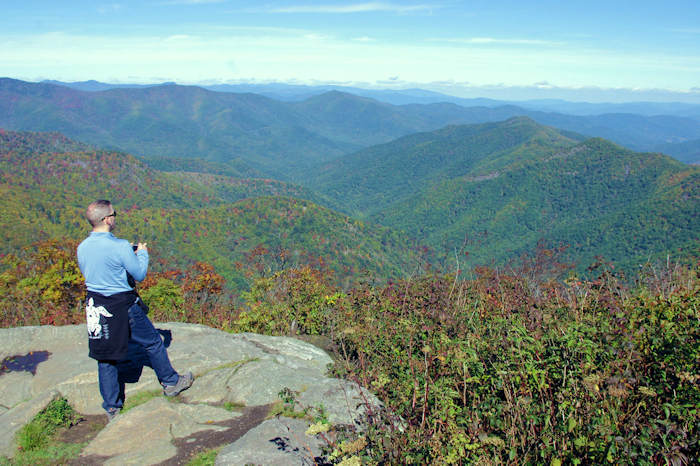
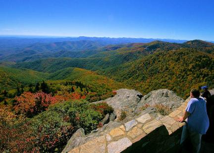
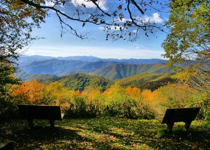
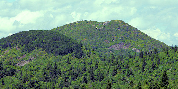
Soak in the views from top Sam Knob (elevation 6,045 feet), located near the Blue Ridge Parkway on the edge of the Shining Rock Wilderness. The impressive looking peak has steep rocky slopes, but the 2.2-mile roundtrip trail winds up the slope to make the ascent more gradual. The trail has some eroded and steeper sections. Since the summit is a bald with rock and shrubs, the panoramic views from the top are a big pay-off for the elevation gain of 570 feet during the hike. Take a picnic! Nearby hikes include Black Balsam Knob and Graveyard Fields.
Hike Details
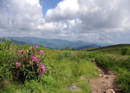
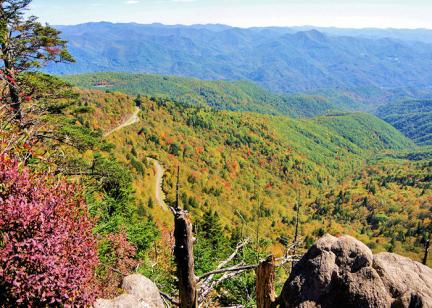
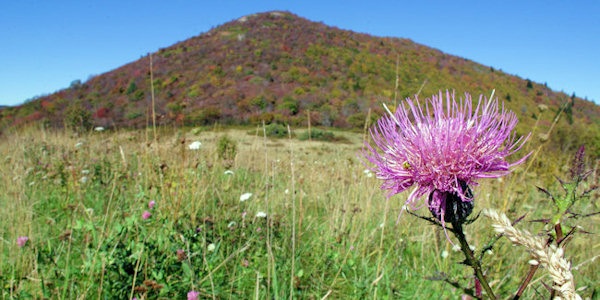
Park at the end of Black Balsam Road (see directions below). Start your hike on the Sam Knob Summit Trail behind the bulletin board to the right of the toilets. You'll follow an old road to a beautiful meadow often filled with wildflowers with a view of the summit ahead. Past the meadow, the trail to the summit forks to the right and you'll snake up the summit on switchbacks, so the climb is gradual. Near the summit, you'll have a great view looking back toward the parking area and Black Balsam Knob. Keep going to the obvious highest point, along with various vantage spots on the summit. Panoramic views include Devil's Courthouse on the Blue Ridge Parkway.
Directions
From Asheville, follow the Blue Ridge Parkway south for 26.5 miles past the NC 191 Parkway intersection at the NC Arboretum. Turn right on FR 816 (Black Balsam Road) just past milepost 420. Follow this road about one mile to the end at the parking area. This section of the Parkway closes frequently during the winter for snow and ice. Read more about current Parkway closures. There is no street address for GPS.
Check out this 360 video of Sam’s Knob View by our friends at Hike NC With Me
